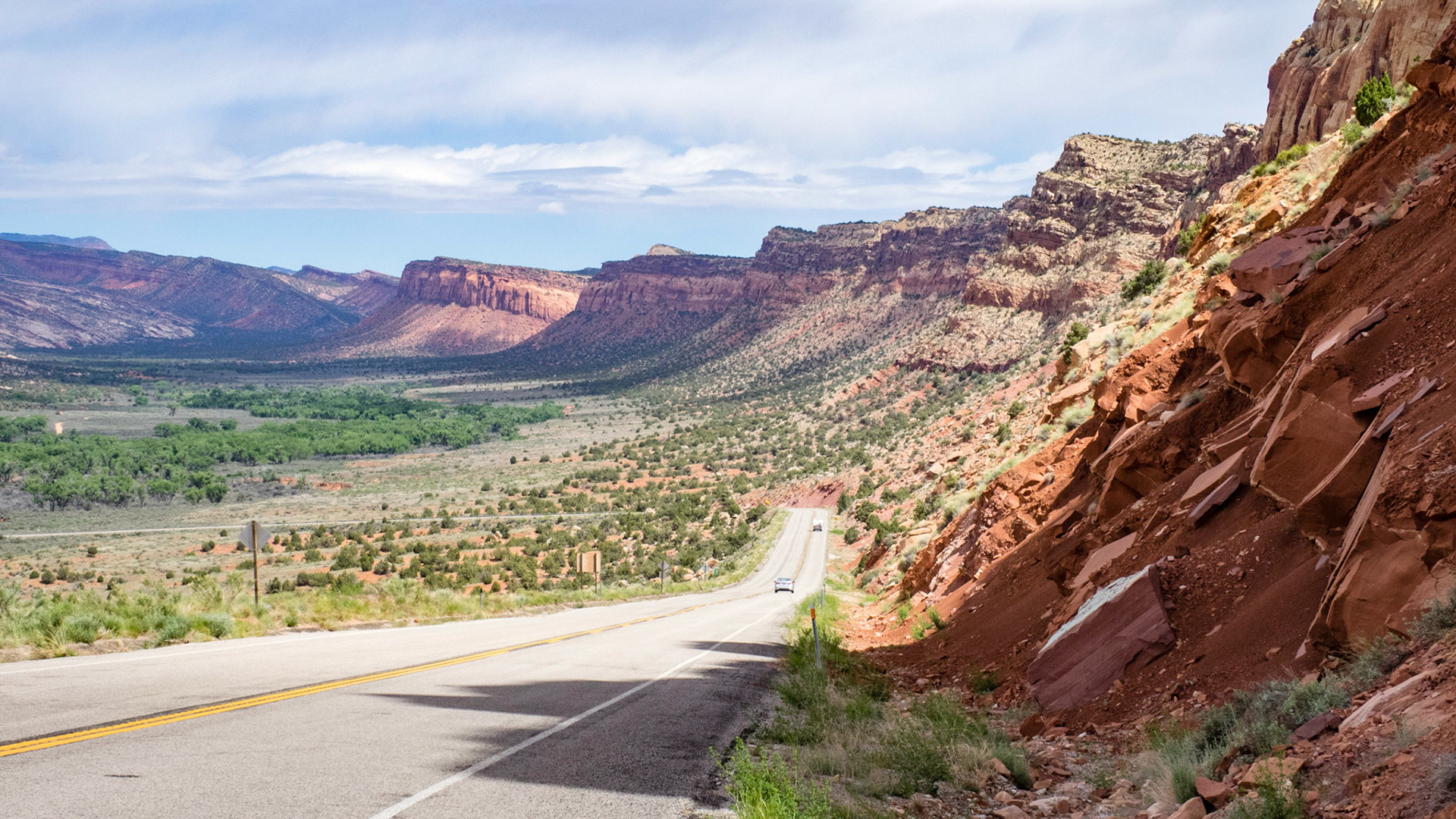
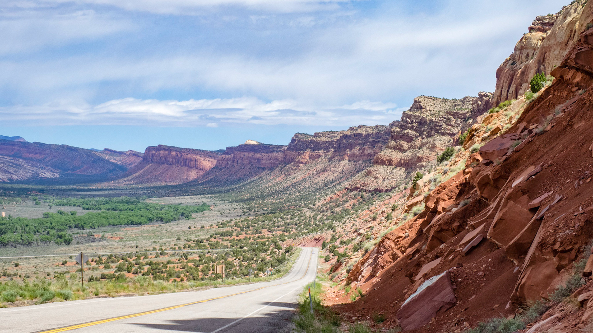
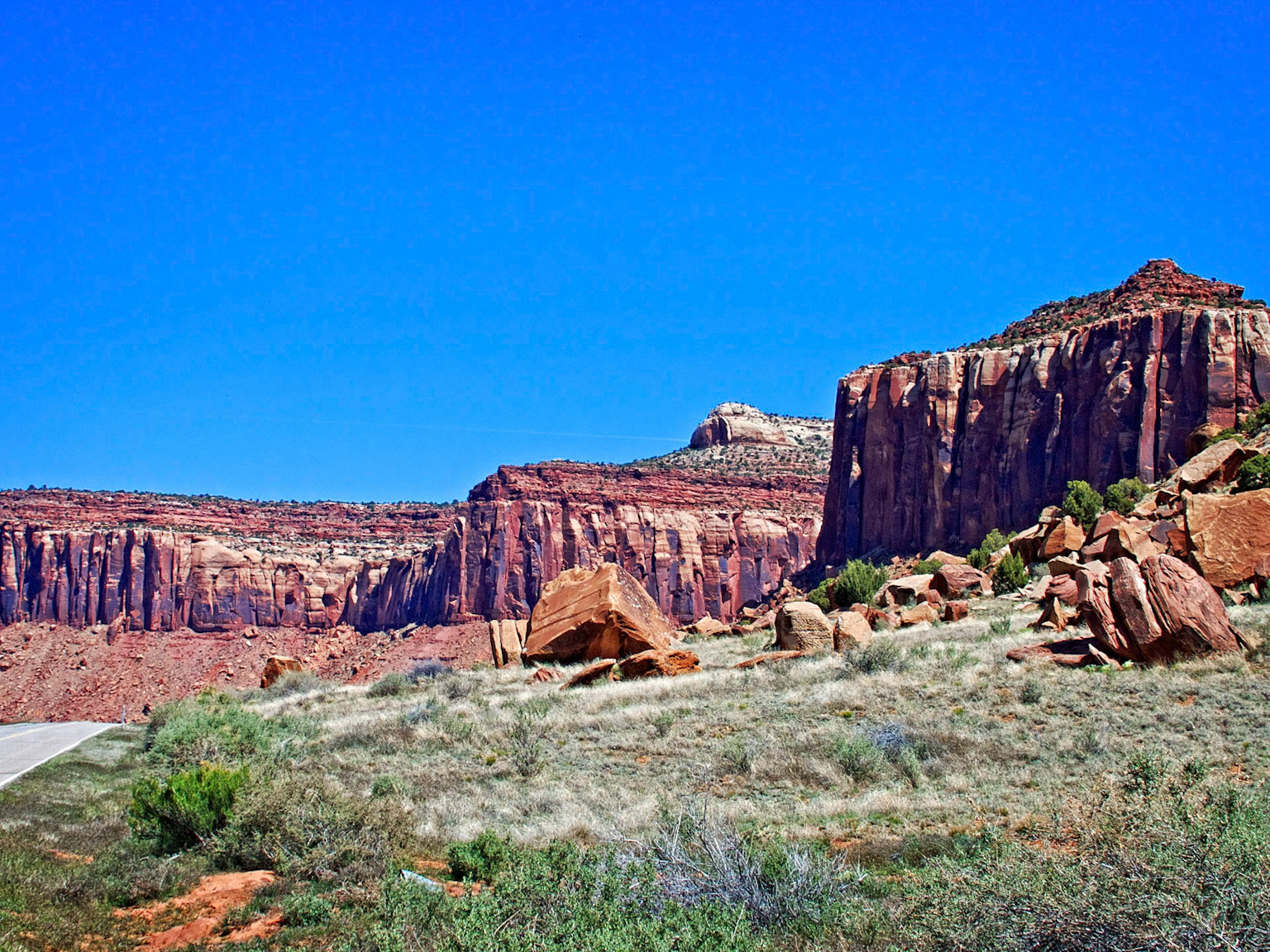
Looking north along Comb Ridge from Utah State Route 95 between Blanding and Hite. Comb Ridge is a linear north to south-trending monocline nearly 80 miles long in southeast Utah and northeast Arizona.
Looking north along Comb Ridge from Utah State Route 95 between Blanding and Hite. Comb Ridge is a linear north to south-trending monocline nearly 80 miles long in southeast Utah and northeast Arizona.
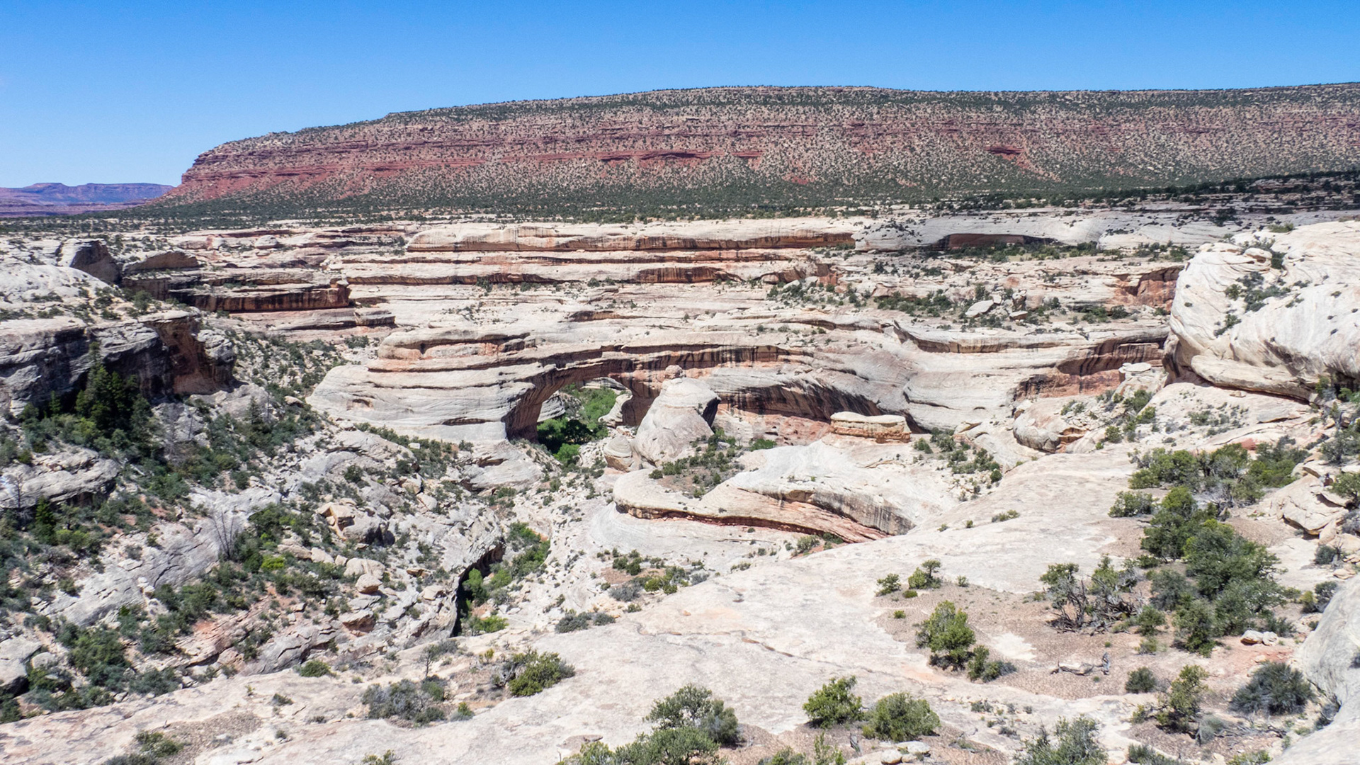
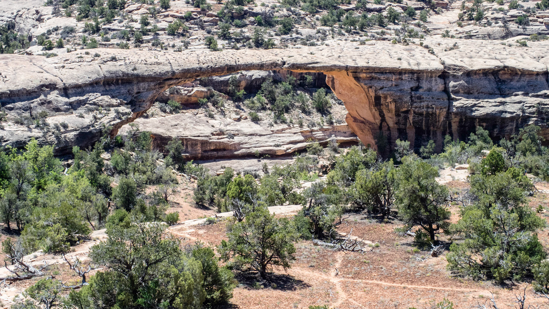
Sipapu Bridge, in Natural Bridges National Monument. The bridges are formed by streams eroding through the narrow neck of a meander.
Sipapu Bridge, in Natural Bridges National Monument. The bridges are formed by streams eroding through the narrow neck of a meander.
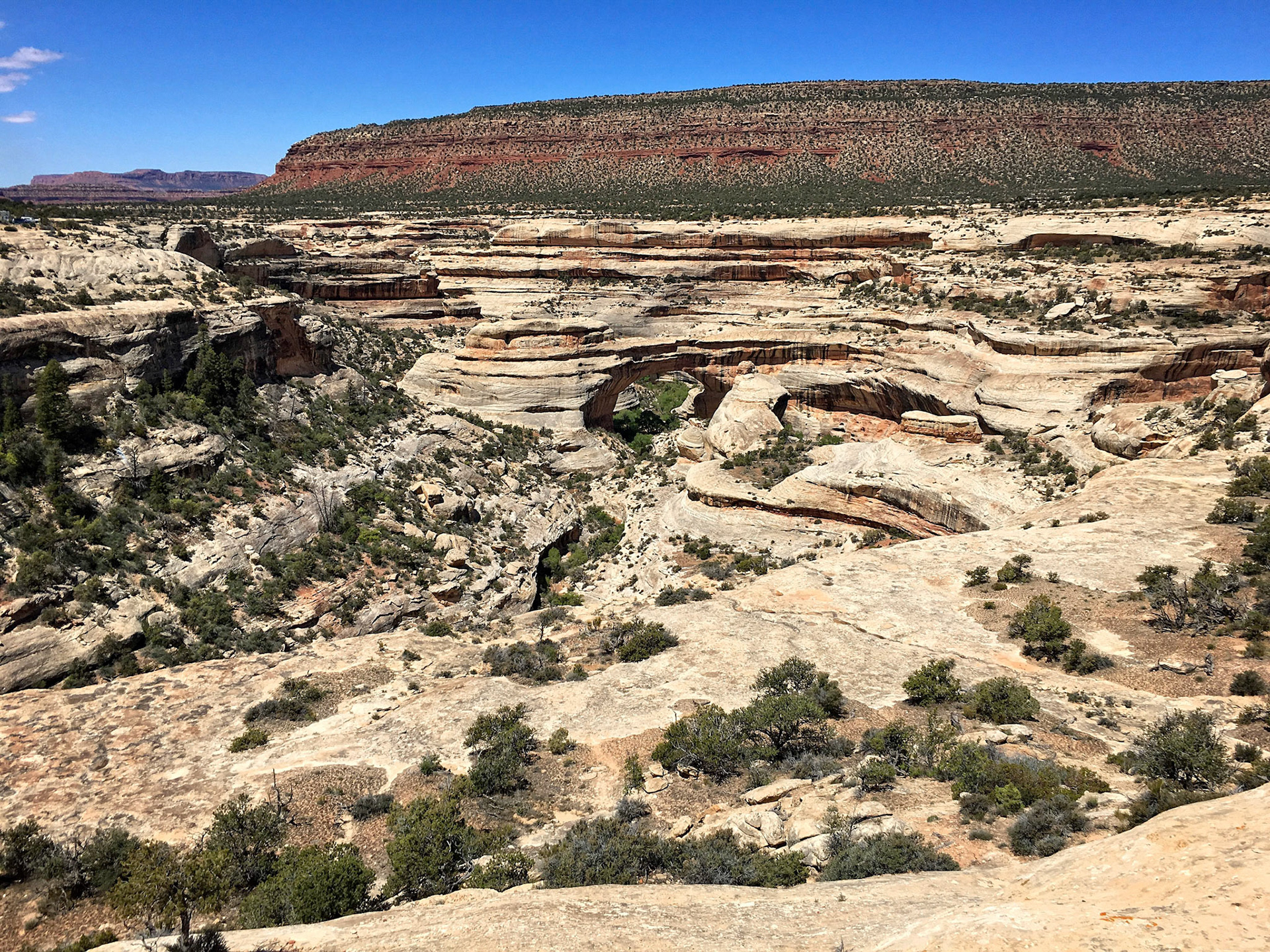
Owachomo Bridge, in Natural Bridges National Monument.
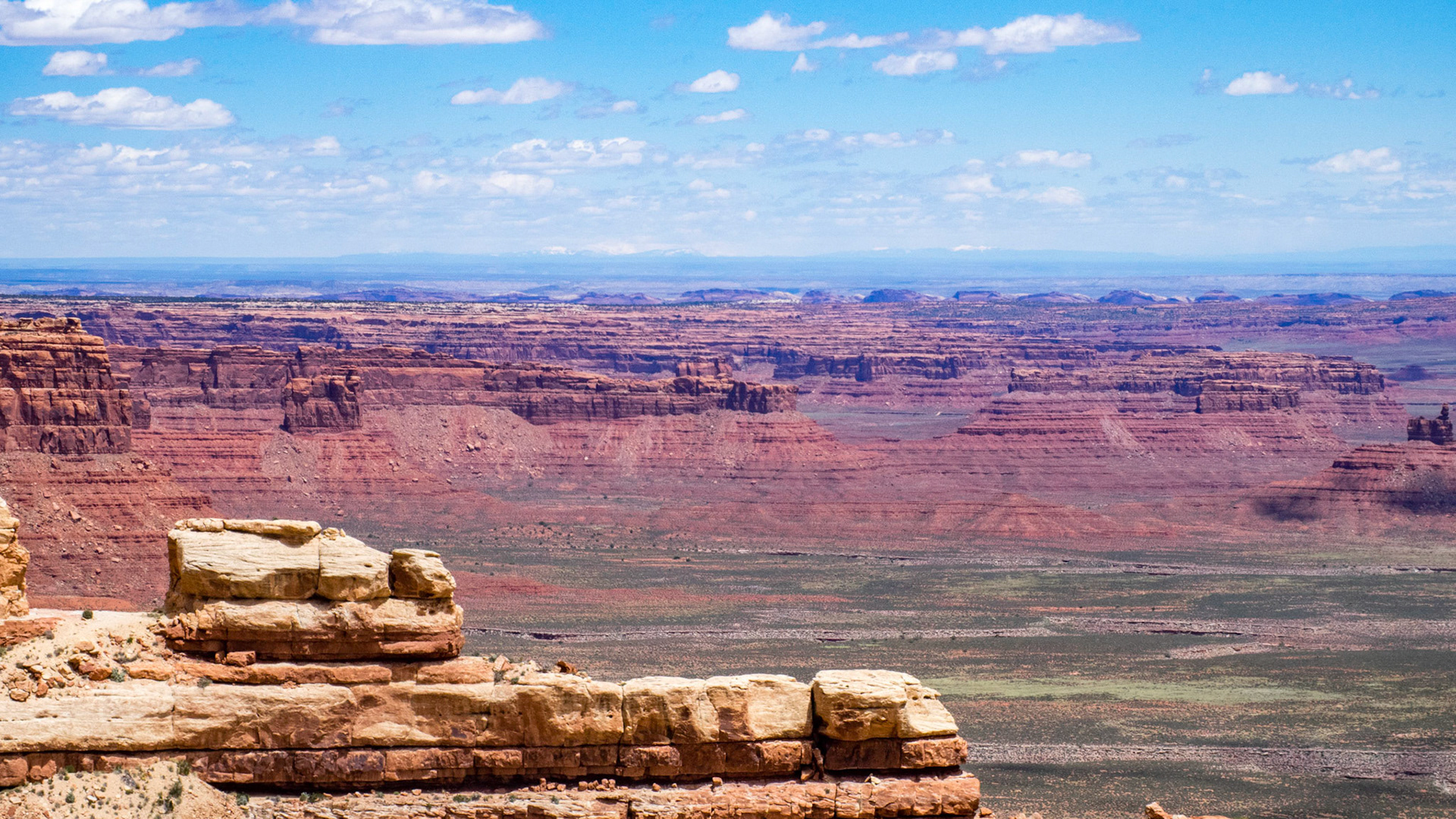
Utah State Route 261, part of the Utah section of the Trail of the Ancients, a National Scenic Byway, includes steep unpaved switchbacks as it descends the Moki Dugway. The Moki Dugway was constructed in 1958 by Texas Zinc, a mining company, to transport uranium ore from the "Happy Jack" mine in Fry Canyon to the processing mill in Mexican Hat. The State Road Commission added SR-261 to the state highway system in 1957. This picture shows the view from the Moki Dugway over to Comb Ridge in the middle distance.
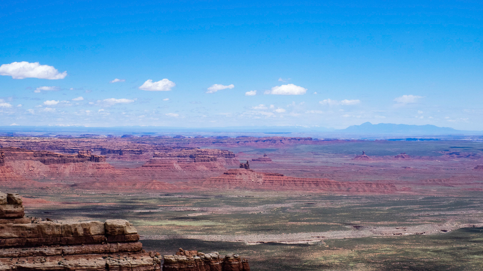
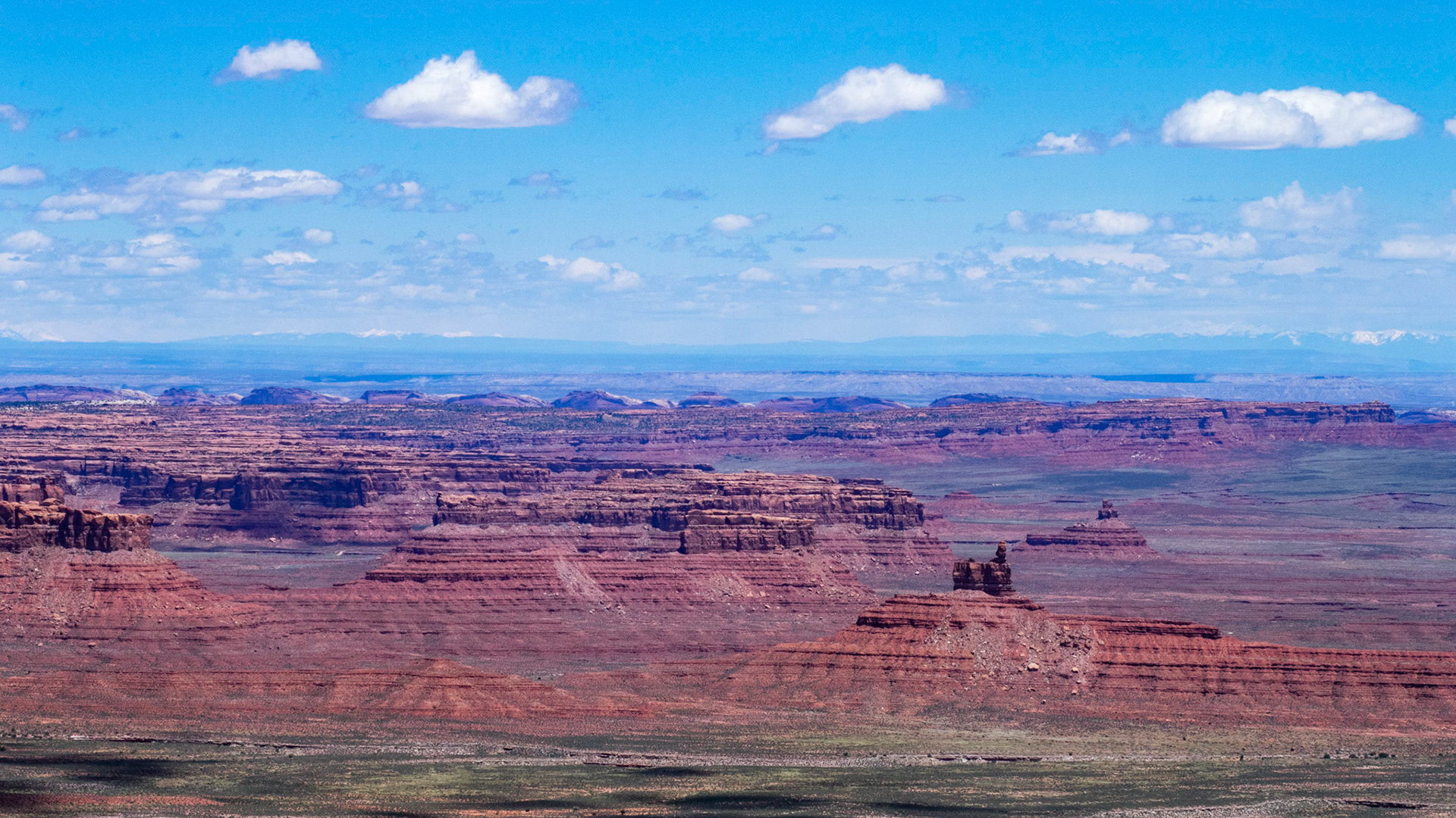
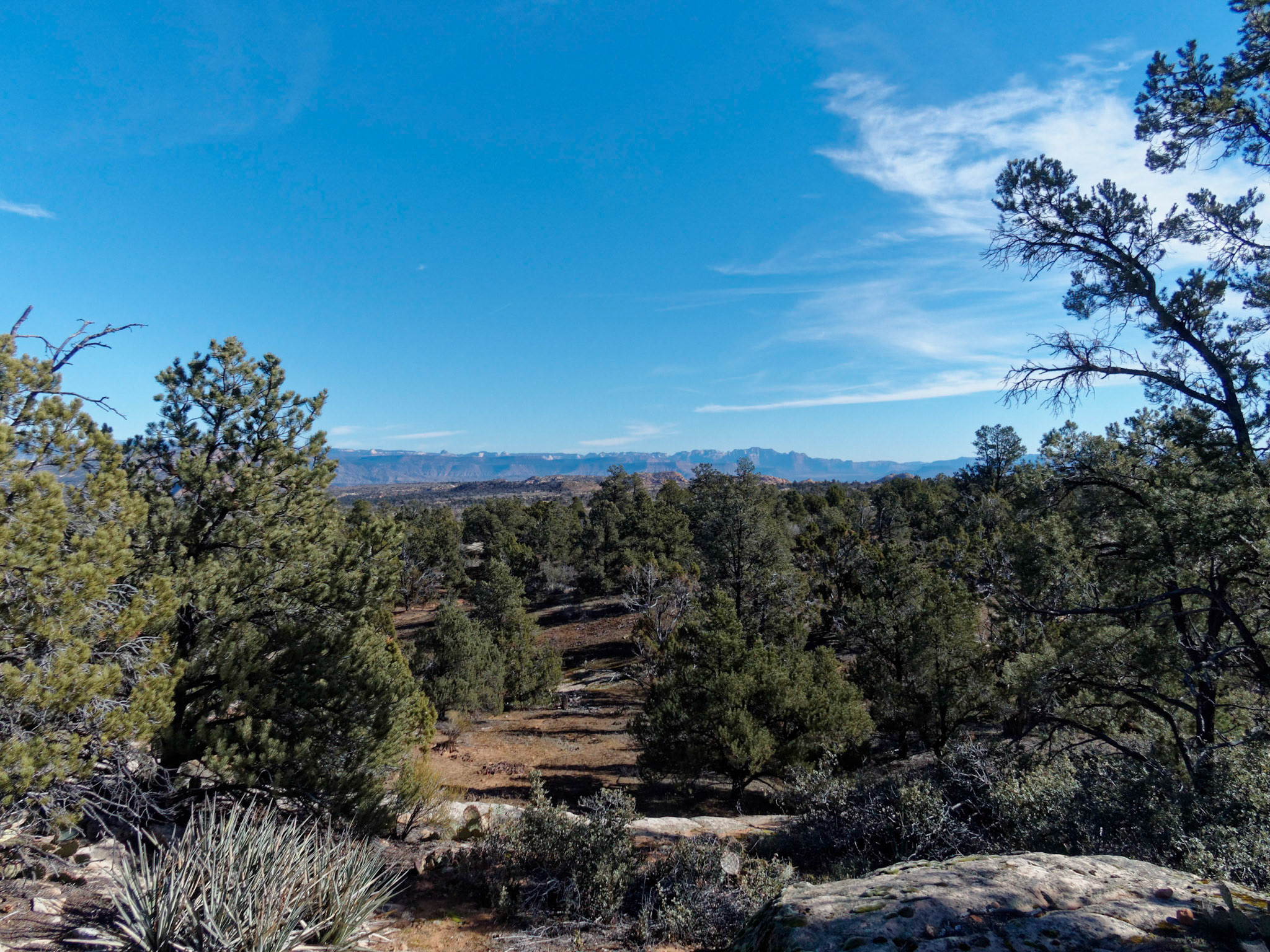
Another view from the Moki Dugway. In the right middle distance can be seen the rock formations of the Valley of the Gods with Comb Ridge to the left. The prominent mountain to the right is Pastora Peak in northern Arizona and to the left on the horizon can be seen the snow-capped mountains of northern New Mexico.
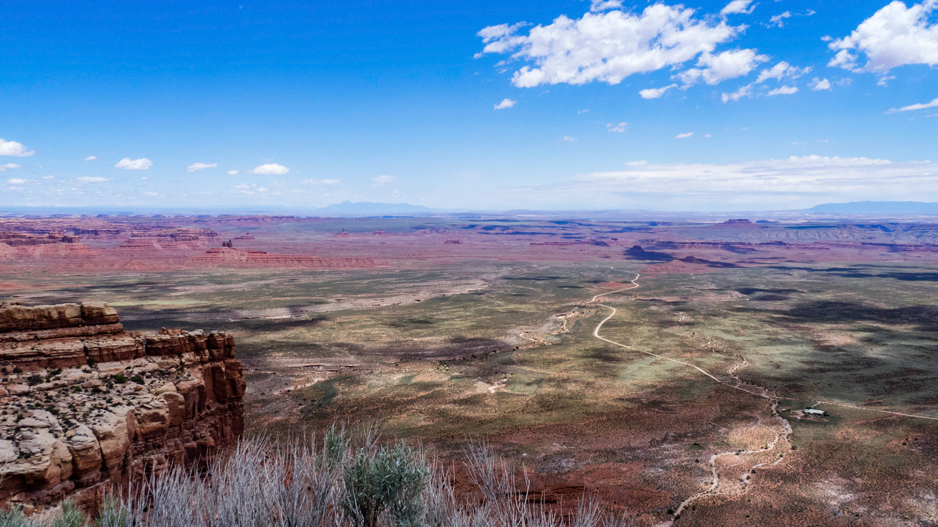
View from the Moki Dugway showing the road through the Valley of the Gods with the B&B in the right foreground.
View of the Valley of the Gods and Comb Ridge from the Moki Dugway. The far snow-capped mountains are in northern New Mexico and southern Colorado.